
Efforts are actively underway to identify the ongoing changes occurring along the coastlines of the nation's islands, the Ministry of Climate Change, Environment and Energy stated, addressing a coastal erosion phenomenon that has escalated into a major crisis and a significant concern for the public.
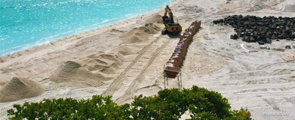
To deliver a comprehensive solution, numerous initiatives are being implemented at both the local island and national levels. Extensive shore protection operations are concurrently in progress with the assistance of the Green Climate Fund and the Japan International Cooperation Agency, the environment ministry noted. Work is also underway to finalise a national policy regarding coastal protection, an initiative that is already 65 per cent completed.
Outlining these developments, officials detailed policy progress and specific infrastructure targets. "Efforts are currently underway to formulate a national policy regarding coastal protection," the environment ministry said in a statement. "Sixty-five per cent of this initiative has already been completed. Furthermore, as a foremost priority, the practical implementation of coastal protection measures is actively moving forward. These operational efforts encompass three islands within Laamu Atoll, specifically Gan, Isdhoo, and Fonadhoo, as well as Meedhoo, Addu Atoll. Regarding this practical implementation, 75 per cent of the detailed design phase has been successfully finalised."
Underscoring that a viable solution requires identifying underlying issues, the environment ministry explained that shifting coastal conditions must be adequately assessed. Officials have utilised a specialised monitoring tool to document the coastal changes that occurred across the Maldivian islands between 2015 and 2023, the ministry stated.
The development of a coastal hazard map is also in progress, the environment ministry reported, with the mapping of 102 islands already completed under this initiative. The map is being systematically compiled by reviewing and identifying the formal complaints submitted by local councils. Once finalised, this mapping system will clearly delineate areas experiencing active erosion, zones of sediment accretion, and regions vulnerable to tidal swells, the environment ministry stated.
Environment ministry tracking shifting Maldives coastlines as crisis grows

Fetched On
Last Updated
Last Updated

